

-
−9%
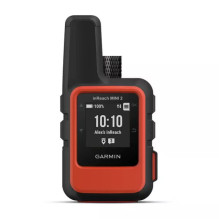
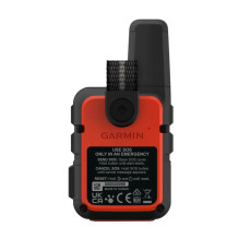
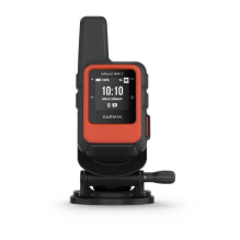

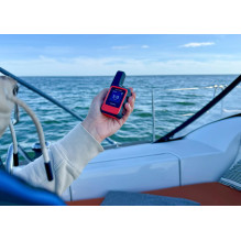
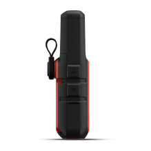
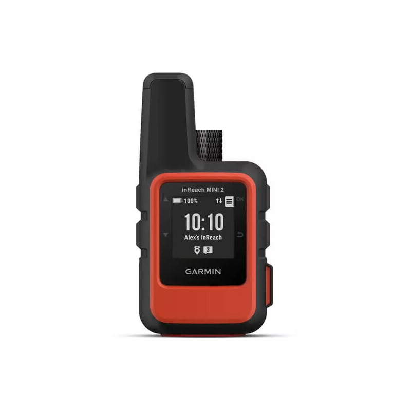
The compact, 100 g Garmin inReach Mini 2 uses the Iridium satellite network for two-way text messaging, location sharing and interactive SOS. TracBack helps you return along your travelled route. Battery life reaches up to 14 days with 10-minute tracking transmissions and a full sky view. An active subscription is required for satellite features.
The compact, 100 g Garmin inReach Mini 2 uses the Iridium satellite network for two-way text messaging, location sharing and interactive SOS. TracBack helps you return along your travelled route. Battery life reaches up to 14 days with 10-minute tracking transmissions and a full sky view. An active subscription is required for satellite features.
Guarantee
24 month
Delivery from Europe in
10 - 15
business days
The Garmin inReach Mini 2 is designed for hikes, expeditions and trips into areas where mobile coverage may be unavailable. It combines satellite text messaging, interactive SOS, location tracking and navigation features. The verified manufacturer code 010-02602-02 and barcode 753759281250 identify the Flame Red version with black body details.


Messages travel over the global Iridium satellite network, so communication does not require local mobile network coverage. You can send and receive text messages, communicate with other inReach devices and update people at home about your journey. This is useful when plans change, your return is delayed or you need to arrange a meeting in a remote area.
Pairing with a compatible phone and the Garmin Messenger app makes composing messages easier using the phone keyboard, while the inReach Mini 2 provides the satellite connection.
In an emergency, the dedicated SOS button lets you contact Garmin's emergency response coordination centre, staffed around the clock. Two-way communication allows you to explain the situation, answer questions and receive updates about response coordination.
You can share your position through a MapShare page or messages containing your coordinates. Adjustable tracking transmission intervals help people at home follow your progress even when you are outside mobile coverage.
TracBack helps you return to your starting point along the same route you travelled. The recorded track is useful if you lose your way or need to retrace your steps to the departure point. The digital compass provides heading information even when stationary, making it easier to orient yourself before continuing.
GPS, Galileo, QZSS and BeiDou systems are supported for positioning. You can save waypoints, record activities and use navigation. These functions also work without an active satellite subscription.
The Garmin Explore app lets you plan trips, create waypoints and courses, sync data and review recorded activities. Maps can be downloaded to a compatible phone for use on your trip. The inReach Mini 2 itself has no preloaded basemap or detailed maps and does not support adding maps.
The inReach Weather service lets you request a forecast for your current position or another selected location. This is useful before continuing a hike, choosing a campsite or assessing conditions for the next stage. An active subscription is required, and usage is accounted for under your selected plan.
Weighing just 100 g, the device takes up little space, and the included carabiner lets you attach it to your equipment. Its sunlight-readable monochrome MIP display shows messages, heading information and essential trip data. Physical buttons provide device control.
The IPX7 rating means resistance to accidental immersion in water up to 1 m deep for up to 30 minutes. This is useful when travelling in rain or accidentally getting the device wet.
The integrated 1250 mAh lithium-ion battery charges through USB-C. The previously stated 336 hours means up to 14 days under specific conditions, rather than across all operating modes. Tree cover and more detailed activity recording reduce runtime.
| Parameter | Value |
|---|---|
| Manufacturer and model | Garmin inReach Mini 2 |
| Manufacturer code | 010-02602-02 |
| Barcode | 753759281250 |
| Colour | Flame Red with black details |
| Dimensions as specified | 51.7 × 99.0 × 26.1 mm |
| Device weight | 100 g |
| Display | Sunlight-readable monochrome MIP |
| Display size and resolution | 23 × 23 mm; 176 × 176 pixels |
| Satellite communication network | Iridium |
| Positioning systems | GPS, Galileo, QZSS, BeiDou |
| Wireless connectivity | Bluetooth Low Energy, ANT+ |
| Interface | USB-C |
| Battery capacity | Built-in rechargeable lithium-ion, 1250 mAh |
| IP protection rating | IEC 60529 IPX7 |
| Operating temperature | −20 to +60 °C |
| Charging temperature | 0 to +45 °C |