

-
−2%
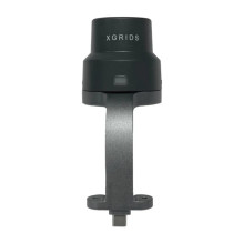
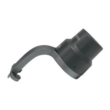
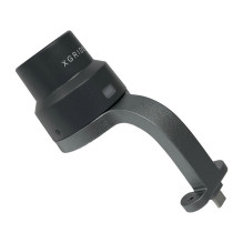
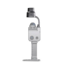

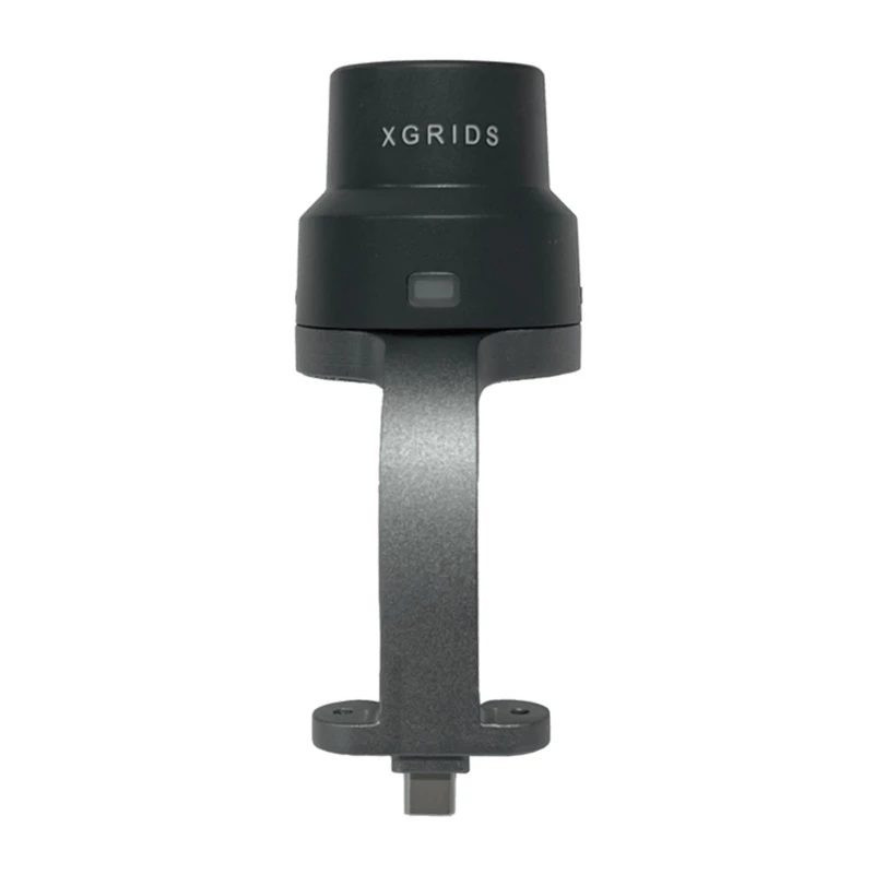

XGRIDS CZ02020001 is a GNSS RTK module for the LixelKity K1 scanner, enabling centimeter-level positioning under suitable conditions. It helps reference outdoor 3D scanning data to absolute coordinates. Used with LixelGO and a compatible RTK correction source.
XGRIDS CZ02020001 is a GNSS RTK module for the LixelKity K1 scanner, enabling centimeter-level positioning under suitable conditions. It helps reference outdoor 3D scanning data to absolute coordinates. Used with LixelGO and a compatible RTK correction source.
Guarantee
24 month
Delivery from Europe in
10 - 15
business days
This module adds precise satellite positioning to the XGRIDS LixelKity K1 scanner. Model-specific product sources list manufacturer code CZ02020001 together with EAN 4251522825114, identifying this item as a K1 accessory rather than the 3D scanner itself.

RTK, or Real-Time Kinematic positioning, enables centimeter-level accuracy under suitable conditions. This is useful for outdoor surveying and mapping projects where the precise location of captured data matters.
The manufacturer's manual states that the RTK accessory provides absolute coordinates during capture and improves overall point cloud accuracy. Positioning accuracy is distinct from the measurement accuracy of each scanned surface.
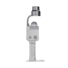
The compact module mounts on top of the K1 scanner using two screws. Location information is used alongside scanning data in the LixelGO workflow, extending the functionality of an existing K1 system.
| Parameter | Value |
|---|---|
| Manufacturer | XGRIDS |
| Manufacturer code | CZ02020001 |
| EAN | 4251522825114 |
| Product type | GNSS RTK positioning module |
| Positioning accuracy level | Centimeter-level under suitable RTK operating conditions |
| Mounting | Two screws on top of the scanner |
| Companion app | LixelGO |
| Packaged weight | 0.180 kg |