


Šunų sekimo sistema Garmin Alpha 200 Plus
Šunų sekimo sistema Garmin Alpha 200 Plus
Guarantee
24 month
Delivery from Lithuania in
2 - 5
business days
No matter where the hunt takes you and your dogs, you need a strong connection to help you train faster, communicate better, and keep a clear picture of what’s happening with your pack in the field.
Comparison table:
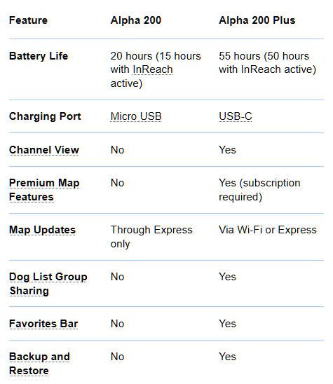
Track up to 20 dogs up to 14.5 kilometers away (depending on dog device) - data updates every 2.5 seconds. Pair with T20 or TT25 dog devices (sold separately or included in the kit).
Keep inactive dogs in the dog list and manage active groups so you don't have to add or remove dogs before each hunt. Pair with the T 5 or T 5 mini dog trackers (sold separately or as a bundle).
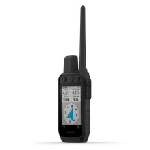
In pro view compass mode, you get a simple and intuitive tracking view that shows you which way and at what distance your dogs are, and whether your dog is "in the tree" or "on target".
Track your pack more accurately than with GPS alone with multiple global navigation satellite systems (GPS and Galileo).
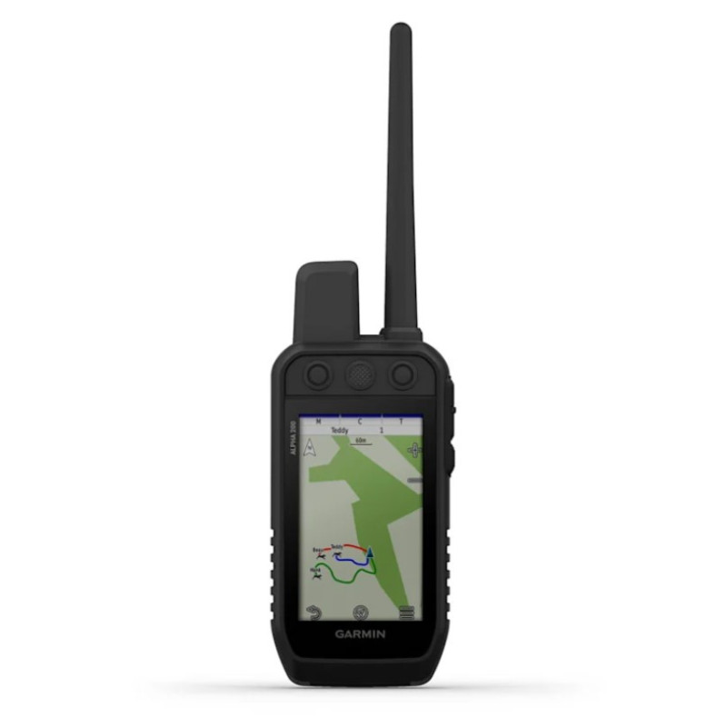
Preloaded TopoActive Europe maps provide detailed views of terrain contours, topographic projections, peaks, parks, coastlines, rivers, lakes, and landmarks.
Download BirdsEye satellite imagery directly to your handheld and see clearer-than-life views of your route, trailheads, clearings, and more.
A barometric altimeter helps you accurately track ascent and descent and see short-term air pressure trends, while an integrated tilt-compensated three-axis electronic compass helps you know your direction—whether you’re moving or stationary.
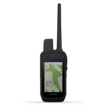
Easily view and interact with maps, dog data, and more on the sunlight-readable 3.5-inch capacitive touchscreen.
Up to 20 hours of battery life with a replaceable battery.
microSD™ card slot allows you to load more maps, such as Topo Offroad maps (sold separately).
Track your group on the go, from your wrist and more wirelessly with compatible Garmin devices, such as the Garmin DriveTrack GPS navigator, Fenix watch and more.
| MEMORY/HISTORY | 16 GB |
| Water resistance | IPX7 |
| BAROMETRIC ALTIMETER | Yes |
| BATTERY LIFE | Up to 55 hrs. |
| Battery type | Lithium-ion battery (included) |
| Screen size, inches | 3.5" |
| SCREEN RESOLUTION | 282 x 470 |
| Screen type | Semi-transparent color TFT touchscreen |
| ELECTRONIC COMPASS | Yes |
| GPS receiver | Yes |
| Touchscreen | Yes |
| USB port | High-speed USB-C |