

Guarantee
24 month
Delivery from Lithuania in
2 - 3
business days
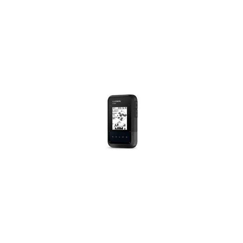
Navigation receiver for area measurement, black and white display, without maps GNSS with solar battery
Enjoy longer adventures with this easy-to-use handheld GPS device with unlimited battery life in bright sunlight (75,000 lux). Plus, with wireless connectivity and multi-band GPS support, there's more discovery and joy to be had.
Garmin Etrex Solar has become even better. This model has retained the functions of the previous model, simple design, long battery life - those characteristics that made the Etrex navigator family among the most popular and one of the most reliable GPS navigators. The user menu has been improved, a world map has been installed (this map is large-scale and not suitable for navigation functions), a database of Geocaching points and a wide selection of accessories. This is a name and quality, but at the same time a completely new navigator that only Garmin could produce.
Garmin Etrex Solar has an improved, 2.2-inch, monochrome screen with even higher resolution. It is convenient to use in any difficult lighting conditions. The body of this GPS navigator is durable and protected from moisture, not afraid of bad weather. The user menu is easy to operate and understandable, so you can focus more on your trip. The already legendary body is resistant to dust, dirt, moisture and water.
The Etrex Solar supports the Geocaching GPX format, so you can easily upload Geocaching data files from the OpenCaching.com website. Get rid of paper maps and notes, so you will not only protect nature, but also search for "treasures" more efficiently. The Etrex SE GPS receiver will save all the information - coordinates, terrain, difficulty level, tips and descriptions. Just upload the GPX format data and travel.
With a powerful GPS receiver with WAAS/EGNOS and HotFix® satellite prediction technology, the Etrex SE quickly and accurately determines your position and maintains reliable connectivity in forested or mountainous terrain. This GPS receiver also supports GLONASS, GALILEO and other satellite systems, which increases the speed of position detection.
With the free Garmin Explore app, you can easily manage your waypoints, routes and tracks. This free trip planning app lets you share your Etrex SE data with friends, family or colleagues.
Etrex Solar is one of the models that already has an integrated area calculation calculator. It is enough to turn on the area measurement function, go around the perimeter of the measured plot and immediately on the GPS screen we can see the plot area in ares or square meters. The recorded track and points can be easily transferred to a computer for further data processing via the USB interface. With the data processing program GPS Utility , it is possible to create files of the appropriate format (shape polygons) suitable for electronic crop declaration.
Area measurement instructions -008px; line-height: inherit; font-family: Arial, Verdana; font-optical-sizing: inherit; font-kerning: inherit; font-feature-settings: inherit; font-variation-settings: inherit; vertical-align: baseline; box-sizing: border-box; outline: 0px;">http://fedingas.lt/files/plotai_etrex_se.pdf