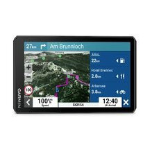
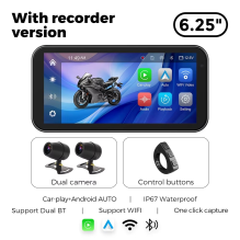
Discover smart motorcycle navigation designed for the modern traveler! This 6.25-inch motorcycle GPS navigation system not only helps you navigate the road, but also offers exclusive features such as wireless Apple CarPlay / Android Auto, high-definition DVR recording, Wi-Fi connectivity and...
Tvirtas GPS navigacijos įrenginys su jutikliniu ekranuMATYKITE PASAULĮ. PALAIKYKITE RYŠĮ. ĮAMŽINKITE NUOTYKĮ.Tvirtame delniniame įrenginyje Montana navigacijos keliais ir bekele lankstumas puikiai dera su visame pasaulyje veikiančia pranešimų siuntimo bei gavimo ir interaktyvių SOS signalais...
Tvirtas GPS navigacijos įrenginys su jutikliniu ekranuMATYKITE PASAULĮ. PALAIKYKITE RYŠĮ. ĮAMŽINKITE NUOTYKĮ.Tvirtame delniniame įrenginyje Montana navigacijos keliais ir bekele lankstumas puikiai dera su visame pasaulyje veikiančia pranešimų siuntimo bei gavimo ir interaktyvių SOS signalais...
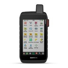
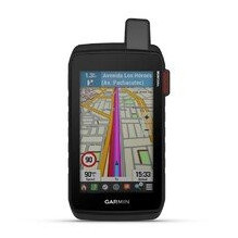
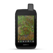
Rugged GPS navigation device with touchscreenSEE THE WORLD. CONNECT. CAPTURE THE ADVENTURE.Montana on-road and off-road navigation capabilities in a rugged handheld device.You can type important news and messages using the regular QWERTY keyboard.Keep on the move and stay connected with inReach...
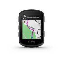
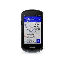
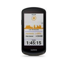
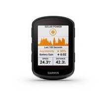
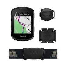
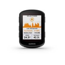
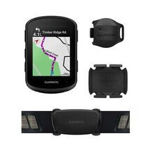
GPS bike computer for training and racingThe latest generation GPS bike computer with the most advanced navigation and smart features3.5” capacitive touchscreen, latest navigation, training and safety featuresSolar charging with Power Glass™ extends battery life up to 42 minutes per hour when...
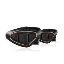
BTX1 PRO hands-free communication equipment for motorcyclists.The BTX1 PRO is the ideal hands-free device not only for conversations between the driver and passenger while riding a motorcycle, but now motorcycle riders can also talk to each other. All this will happen in "full duplex" mode, in...
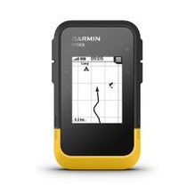
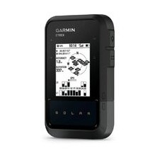
Navigation receiver for area measurement, black and white display, without maps GNSSRugged, rugged GPS receiver for area measurementBase, worldwide map2.2-inch, monochrome display, easy to see on a sunny dayGPS, GLONASS, Galileo, BeiDou and QZSSatellite signal receiver (GNSS)Area measurement...
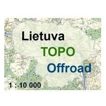
Lithuanian TOPO Offroad GPS map 1:10,000 downloadable onlineSince this is an intangible item, this item CANNOT be delivered by courier.When placing an order, please select:payment method- any, except paying in cash to the courier,The delivery method MUST be >> "Pick up in store" <<...
Navigation receiver for area measurement, black and white display, without maps GNSS with solar batteryREADY? ATTENTION! ON A HIKE!Enjoy longer adventures with this easy-to-use handheld GPS device with unlimited battery life in bright sunlight (75,000 lux). Plus, with wireless connectivity and...
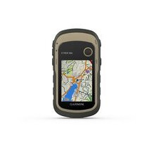
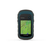
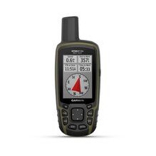
Portable GPS navigator, 3-axis compass, barometer, altimeter, improved screen resolution and memory expansion2.2-inch bright, color displayTopoActive map of Europe already installedHigh-sensitivity GPS receiver with HotFix® and GLONASS technology support8 GB internal memory with the ability to...
Portable GPS navigator with improved screen resolution and memory expansion2.2-inch bright, color displayTopoActive map of Europe already installedHigh-sensitivity GPS receiver with HotFix® and GLONASS technology support8 GB internal memory with the ability to expand it with a microSD™ cardThe...
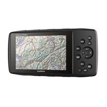
The legendary universal GPS navigatorThe legendary universal portable GPS receiver returnsBuilt on the basis of the universal navigator GPSMAP 276C - with the same and expanded capabilitiesEven more sensors - including GPS+GLONASS, altimeter and 3-axis compassLarge 5-inch, sunlight-readable WVGA...
6 inch motorcycle navigatorNavigation for scenic motorcycle tripsRugged, fuel vapor and UV-resistant housing, glove-friendly, sunlight-readable 6-inch displayStay connected hands-free, receive phone notifications and share GPX track files with friends. Control music and playlists from your...
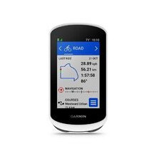
GPS bike computer for training and travelTHE WORLD IS WAITINGIf you need a reliable, simple GPS bike computer, Edge Explore 2 will help you when you need it most. Explore and discover new trails with Edge.If you get lost while riding, Edge will always help you get back home with bike-specific...
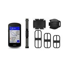
GPS bike computer with mapsGPS bike computer with mapsColor touch screenDynamic performance tracking provides insights into your VO2 max, recovery, training load, heat and altitude acclimatization, nutrition, hydration and more.Bike Safety 2 features include a new bike alarm, group messaging and...
GPS dviračio kompiuteris su žemėlapiaisGPS dviračio kompiuteris su žemėlapiaisSpalvotas liečiamas ekranasDinaminis našumo stebėjimas suteikia įžvalgų apie jūsų VO2 max, atkūrimo, treniruočių apkrovos, šilumos ir aukščio aklimatizaciją, mitybą, hidrataciją ir daugiau 1Dviračių saugos funkcijos 2...
GPS dviračio kompiuteris su žemėlapiaisGPS dviračio kompiuteris su žemėlapiaisSpalvotas liečiamas ekranasDinaminis našumo stebėjimas suteikia įžvalgų apie jūsų VO2 max, atkūrimo, treniruočių apkrovos, šilumos ir aukščio aklimatizaciją, mitybą, hidrataciją ir daugiau 1Dviračių saugos funkcijos 2...
GPS dviračio kompiuteris su žemėlapiaisGPS dviračio kompiuteris su žemėlapiaisSpalvotas liečiamas ekranasDinaminis našumo stebėjimas suteikia įžvalgų apie jūsų VO2 max, atkūrimo, treniruočių apkrovos, šilumos ir aukščio aklimatizaciją, mitybą, hidrataciją ir daugiau 1Dviračių saugos funkcijos 2...
GPS dviračio kompiuteris su žemėlapiaisGPS dviračio kompiuteris su žemėlapiaisSpalvotas liečiamas ekranasDinaminis našumo stebėjimas suteikia įžvalgų apie jūsų VO2 max, atkūrimo, treniruočių apkrovos, šilumos ir aukščio aklimatizaciją, mitybą, hidrataciją ir daugiau 1Dviračių saugos funkcijos 2...
GPS bike computer for training and racingThe latest generation GPS bike computer with the most advanced navigation and smart features3.5” capacitive touchscreen, latest navigation, training and safety featuresSolar charging with Power Glass™ extends battery life up to 42 minutes per hour when...
GPS bike computer for training and racingThe latest generation GPS bike computer with the most advanced navigation and smart features3.5” capacitive touchscreen, latest navigation, training and safety featuresSolar charging with Power Glass™ extends battery life up to 42 minutes per hour when...
Nešiojamas navigatoriusPažangus GPS turizmo navigatoriusJau įdiegtas visos Europos TopoActive žemėlapis Keleto palydovinių pasaulinių navigacijos sistemų (GPS, GLONASS, Galileo) palaikymas, kad galėtumėte sekti savo kelionę sudėtingesnėse aplinkose negu naudojant tik GPS, taip pat integruoti...
Compact, wrist-worn GPS receiverTravel anywhere in the world with your hands freeRugged, reliably assembled, meets military standards (MIL-STD-810G); compatible with night vision gogglesSupports GPS, GLONASS and Galileo satellite systems for more accurate positioningKnows where you are with a...
GPS bike computer with mapsGPS bike computer with mapsColor touch screenDynamic performance tracking provides insights into your VO2 max, recovery, training load, heat and altitude acclimatization, nutrition, hydration and more.Bike Safety 2 features include a new bike alarm, group messaging and...
