

Guarantee
24 month
Delivery in
2 - 3
business days
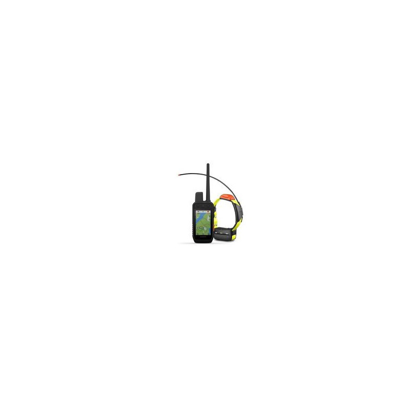
Garmin Alpha 200 dog tracking system with T20 collar
Track and train dogs with the Alpha 200 system, a sunlight-readable 3.5-inch capacitive touch screen and an easy-to-use six-button design.
Designed to make tracking and training simple, understandable and fast. | Track and train dogs in the field. | Leave inactive dogs in the system for easy configuration and management. | Don't get lost on any hunt with Garmin maps and sensors. | User replaceable battery lasts up to 20 hours; up to 15 hours with inReach technology enabled. |
Track up to 20 dogs up to 14.5 kilometers away (depending on the dog's device) - data is updated every 2.5 seconds. Pair with dog unitsT 5 or T 5 mini(sold separately or included).
Keep inactive dogs in the dog list and manage active groups so you don't have to add or remove dogs before every hunt. Pair with dog unitsT 5 or T 5 mini(sold separately or as a set).
Compass mode in pro view gives you a simple and immediately understandable tracking view that displays , which side and distance your dogs are on, plus it shows if your dog is "at a tree" or "aiming".
Track your squad more accurately than GPS alone with multiple Global Navigation Satellite Systems (GPS and Galileo).
TopoActive's preloaded maps of Europe show you detailed views of terrain contours, topographic projections, peaks, parks, shorelines, rivers, lakes and geographic points.
DownloadBirdsEye imagery from satellitedirectly to your handheld device for sharper-than-life views of your route, trailheads, clearings and more.
Barometric Altimeter helps you accurately track takeoff and landing and see short-term air pressure trends, while the built-in tilt-compensated three-axis electronic compass helps you know your direction whether you're moving or stationary.
The sunlight-readable 3.5-inch capacitive touchscreen on the screen you can easily see and perform actions with maps, dog data and more.
Replaceable battery lasts up to 20 hours.
MicroSD™ card slot lets you load more maps, such asTopo Offroadmaps (sold separately).
Track your squad on the go, from your wrist, and more wirelessly with compatible Garmin devices like the Garmin DriveTrack GPS, Fenix watch, and more.