

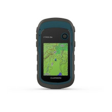
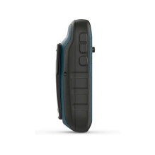
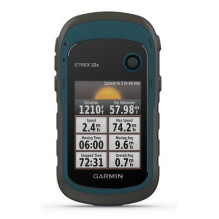
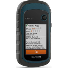
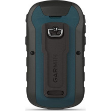
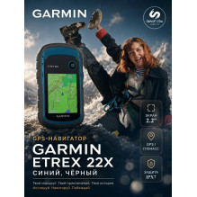
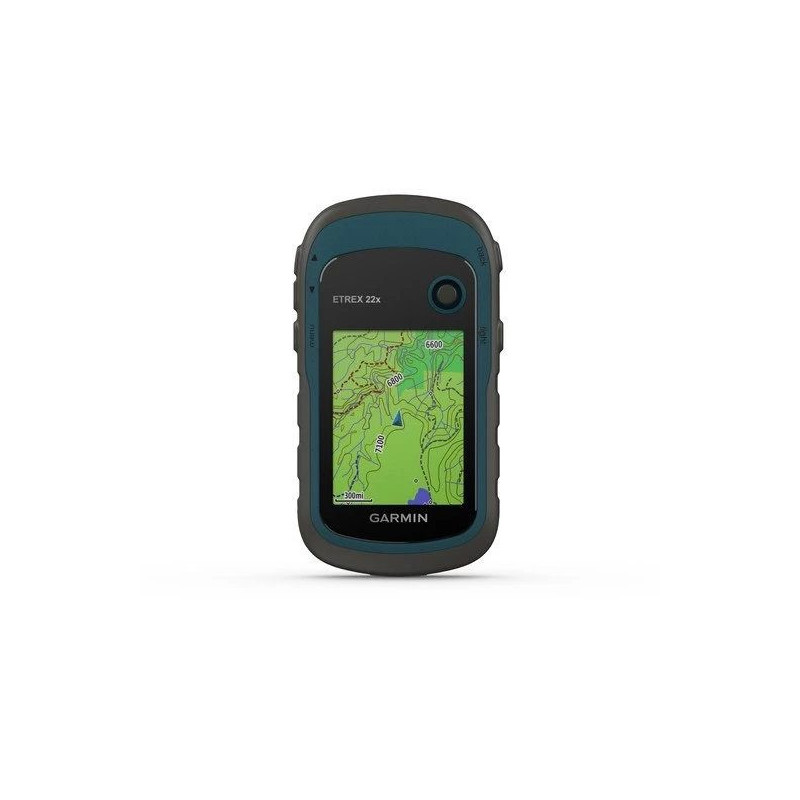

A handheld navigator for hiking and cycling with preloaded TopoActive Europe maps, a sunlight-readable 2.2″ colour display, and GPS and GLONASS support. Features 8 GB of internal memory, a microSD card slot and an IPX7 water rating. Runs for up to 25 hours in GPS mode on two AA batteries; batteries are not included.
A handheld navigator for hiking and cycling with preloaded TopoActive Europe maps, a sunlight-readable 2.2″ colour display, and GPS and GLONASS support. Features 8 GB of internal memory, a microSD card slot and an IPX7 water rating. Runs for up to 25 hours in GPS mode on two AA batteries; batteries are not included.
Guarantee
24 month
Delivery from Europe in
10 - 15
business days
The Garmin eTrex 22x helps you follow a route, save important locations and review your recorded journey. Part number 010-02256-01 and barcode 753759230777 identify the version with preloaded TopoActive Europe maps. Its compact body and replaceable AA batteries are useful for walking and cycling trips.


TopoActive maps include routable roads and trails for outdoor activities. Waterways, natural features, buildings and points of interest help you understand your surroundings and choose places to stop. The preloaded maps are used directly on the navigator.
Support for GPS and GLONASS provides more opportunities to establish your position in challenging environments than GPS alone. You can navigate to a selected waypoint or follow a saved route or track.
The 2.2″ sunlight-readable colour TFT display shows mapping and trip information at 240 × 320 pixels. Backlighting helps in low light. Dedicated buttons adjust the map scale, while the Thumb Stick controller selects menu items; the display is not a touchscreen.
The device stores up to 2,000 waypoints, 200 routes and 200 saved tracks. The current track log can record up to 10,000 points. This makes it useful for marking your parked vehicle, campsite or other important locations.
TracBack guides you back along the path recorded in the current track log. It works with the current log; the TracBack option does not appear when a saved or archived track is selected. Garmin recommends clearing previous track and trip data at the start of your journey.
The 8 GB internal memory is complemented by a microSD card slot for adding compatible maps. Preloaded mapping already occupies part of the internal storage. Cards up to 32 GB are supported and are sold separately.
Updates for the preloaded TopoActive maps are free and installed using Garmin Express. As mapping grows, an update may require a memory card or selection of a smaller region. Do not use a preprogrammed commercial map card for these updates.
For geocaching, you can upload GPX files and read cache location details, terrain information and hints on the device. Area calculation, sun and moon information, and a hunting and fishing calendar provide additional tools for outdoor trips.
The navigator uses two AA batteries and provides up to 25 hours of operation in GPS mode. Actual runtime depends on the batteries, settings and operating conditions. Garmin recommends NiMH rechargeable batteries or lithium batteries, with lithium batteries recommended in freezing conditions. A spare pair can be fitted during your trip.
The housing has an IPX7 water rating. Dry the USB port and surrounding area before connecting a cable. This model has no barometric altimeter or electronic three-axis compass: its GPS compass determines heading while moving. Bluetooth, Wi-Fi and ANT+ connectivity are not available. Automotive navigation with detailed road directions requires suitable additional mapping and a separately purchased mount.
| Manufacturer and model | Garmin eTrex 22x |
|---|---|
| Part number | 010-02256-01 |
| Barcode | 753759230777; EAN-13 format 0753759230777 |
| Display | 2.2″ (5.6 cm), 3.5 × 4.4 cm; transflective TFT, approximately 65,000 colours |
| Display resolution | 240 × 320 pixels |
| Satellite systems | GPS and GLONASS |
| Preloaded mapping | TopoActive Europe and basemap |
| Memory | 8 GB; optional microSD card up to 32 GB |
| Location and route capacity | 2,000 waypoints, 200 routes, 200 saved tracks; track log up to 10,000 points |
| Interface | Mini-USB |
| Power supply | 2 AA batteries or rechargeable batteries, not included |
| Battery life | Up to 25 hours in GPS mode |
| IP protection rating | IPX7 |
| Dimensions as specified | 54 × 103 × 33 mm (width × height × depth) |
| Device weight | 141.7 g with batteries |
AA batteries and a microSD memory card are not included.