

-
−12%
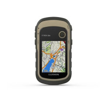
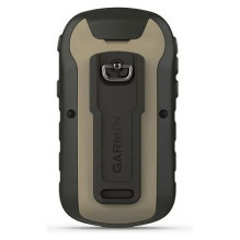
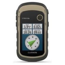
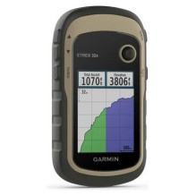
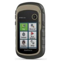
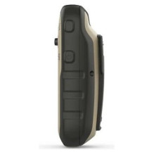
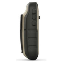
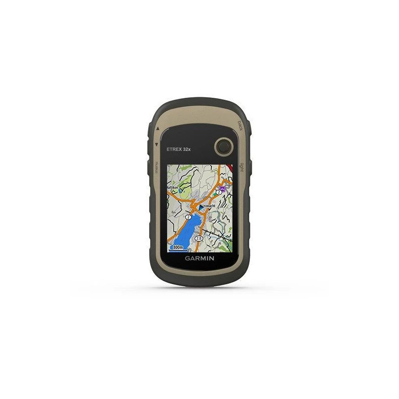

A compact handheld GPS for hiking and cycling: sunlight-readable 2.2″ colour display, TopoActive Europe maps, GPS and GLONASS, a 3-axis compass and barometric altimeter. Features 8 GB of memory, a microSD slot and up to 25 hours in GPS mode using two AA batteries, sold separately.
A compact handheld GPS for hiking and cycling: sunlight-readable 2.2″ colour display, TopoActive Europe maps, GPS and GLONASS, a 3-axis compass and barometric altimeter. Features 8 GB of memory, a microSD slot and up to 25 hours in GPS mode using two AA batteries, sold separately.
Guarantee
24 month
Delivery from Europe in
10 - 15
business days
The Garmin eTrex 32x is designed for hiking, cycling and other outdoor trips. Manufacturer part number 010-02257-01 and barcode 753759230821 identify the version with preloaded TopoActive Europe maps. Its compact housing, replaceable batteries and dedicated navigation sensors help you plan and monitor your journey.


The 2.2″ transflective colour TFT display has a resolution of 240 × 320 pixels and is designed for sunlight readability. Check your map, heading and trip information when stopping on the trail. Physical buttons and a Thumb Stick controller operate the device; the display is not a touchscreen.
TopoActive Europe maps support route calculation for outdoor activities using their mapped roads and trails. Waterways, terrain features and points of interest help you understand your surroundings and choose a destination. Available searches and routes depend on the data in the map being used.
There is 8 GB of internal memory and a microSD card slot for additional compatible maps. Preloaded mapping occupies part of the memory, so available user storage is lower. Cards up to 32 GB are supported; a card is not included.
Using GPS and GLONASS helps determine your position in more challenging environments than GPS alone. The tilt-compensated 3-axis electronic compass provides heading information while stationary, helping you orient yourself before continuing. The barometric altimeter lets you monitor elevation and its plotted changes, useful during climbs and descents. The compass and altimeter can be calibrated following the manual.
Mark a campsite or another important location, create routes and record your travelled path. The trip computer displays speed, average speed and distance, with customisable data fields. Load geocache GPX files to read their coordinates and hints directly on the navigator.
The mini USB port connects the device to a computer for file transfers. ANT+ allows sharing of waypoints, routes and tracks with compatible devices. Bluetooth and Wi-Fi are not supported.
Two AA batteries provide up to 25 hours of operation in GPS mode. Carrying spare batteries is useful on longer trips; actual runtime depends on the batteries, backlight and settings. Garmin recommends NiMH or lithium batteries, and lithium batteries for below-freezing conditions. The housing has an IPX7 water rating.
| Manufacturer and model | Garmin eTrex 32x |
|---|---|
| Manufacturer part number | 010-02257-01 |
| Barcode | 753759230821 |
| Display | 2.2″ colour TFT, 240 × 320 pixels |
| Dimensions as specified | 54 × 103 × 33 mm |
| Device weight | 141.7 g with batteries |
| Positioning | GPS and GLONASS |
| Sensors | 3-axis compass, barometric altimeter |
| Memory | 8 GB; microSD up to 32 GB |
| Saved locations and routes | 2,000 waypoints, 200 routes |
| Tracks | 10,000-point track log, 200 saved tracks |
| Interface and wireless connectivity | Mini USB, ANT+ |
| Power | 2 AA batteries; up to 25 hours in GPS mode |
| IP protection rating | IPX7 |
AA batteries and a memory card are not included. Compatible bicycle and other vehicle mounts are sold separately.